Ines Walter · 10 September 2026
AI-Powered Predictions Revolutionize Management of Low-Earth Orbit Congestion
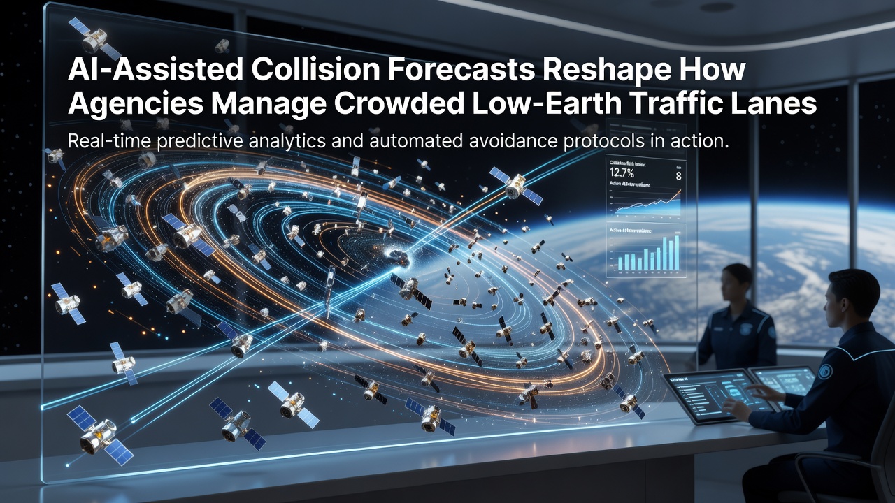
Agencies responsible for space traffic management now rely on artificial intelligence systems to generate collision forecasts that account for the growing density of satellites and debris in low-Earth orbit, where thousands of active spacecraft share crowded altitude bands between 300 and 2000 kilometers. Traditional methods based on deterministic orbital propagation models struggle to keep pace with the volume of objects and the uncertainty introduced by atmospheric drag variations, while machine learning approaches process real-time tracking data from radar networks and optical telescopes to produce probabilistic risk assessments that update continuously.
Expansion of Satellite Constellations Drives Demand for Advanced Forecasting
Launch activity has accelerated since 2020, with operators deploying large constellations that place hundreds of satellites into similar orbital planes, and data from the US Space Force's 18th Space Defense Squadron shows more than 10,000 objects larger than 10 centimeters tracked in low-Earth orbit by mid-2026. In September 2026, international coordination meetings highlighted how daily close-approach notifications had risen by more than 40 percent compared with 2023 figures, prompting agencies to integrate AI models that learn from historical maneuver records and refine predictions for objects whose trajectories include non-gravitational perturbations.
Researchers at institutions such as the University of Colorado's Laboratory for Atmospheric and Space Physics have developed neural network architectures that ingest two-line element sets alongside solar flux indices and geomagnetic data, producing uncertainty ellipsoids that shrink as additional observations arrive. These models allow operators to schedule avoidance maneuvers with greater precision, reducing the fuel expenditure that previously resulted from overly conservative thresholds applied under older statistical frameworks.
Integration of Machine Learning Across Global Tracking Networks
Space agencies have begun fusing data streams from ground-based radars operated by the European Space Agency, Japan's Aerospace Exploration Agency, and Canada's Defence Research and Development Canada into unified training datasets for AI systems. The resulting ensemble forecasts combine outputs from gradient-boosted decision trees with physics-informed neural networks, yielding collision probability estimates that incorporate covariance information from multiple independent sensors rather than relying on a single orbit solution.
One documented case involves an operational satellite that received an AI-generated alert 36 hours before a predicted conjunction with a fragment from a previous anti-satellite test; the maneuver executed at that time avoided a potential close approach of less than 500 meters, an outcome verified through post-event analysis published in a 2025 conference proceeding by the International Astronautical Federation.
Operational Shifts Within Regulatory and Commercial Entities
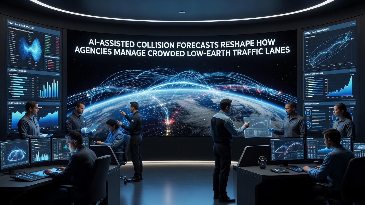
Commercial operators now subscribe to commercial AI services that deliver tailored risk assessments updated every few hours, while government agencies maintain their own classified models that incorporate additional sensor data from space-based surveillance assets. The shift has led to revised conjunction assessment protocols at the Combined Space Operations Center, where analysts review AI-flagged events before issuing formal warnings to satellite owners, thereby concentrating human expertise on the highest-priority cases rather than screening every predicted approach.
European operators coordinated through the European Union Space Surveillance and Tracking programme have reported similar workflow changes, with automated systems handling initial screening and escalation to human review occurring only when probability thresholds exceed 1 in 10,000. These thresholds themselves have been recalibrated using historical data showing that AI-derived probabilities correlate more closely with actual outcomes than legacy Monte Carlo simulations.
Data Sources and Model Validation Practices
Validation efforts draw on archived close-approach events where both objects maintained continuous tracking, allowing teams to compare predicted versus observed miss distances. Studies conducted by the Australian Space Agency and collaborating universities have quantified improvements in forecast accuracy, noting reductions in false-positive rates that previously triggered unnecessary maneuvers. Publicly available summaries indicate that AI models now achieve median prediction errors below 200 meters for objects with sufficient observation history, though performance degrades for newly catalogued fragments with sparse tracking arcs.
Agencies continue to publish technical reports detailing these metrics, and links to representative documents appear on the NASA technical reports repository as well as on the European Space Agency space debris pages.
Future Developments and Ongoing Challenges
Work continues on incorporating onboard sensor data from satellites equipped wth autonomous navigation systems, which could further reduce latency between observation and forecast update. Parallel efforts focus on standardizing data formats so that AI models trained on one agency's dataset remain interoperable with others, addressing concerns about model drift when orbital regimes experience rapid population growth.
Conclusion
The adoption of AI-assisted collision forecasts has altered daily operations for every organization that manages assets in low-Earth orbit, replacing periodic batch processing with continuous probabilistic updates that reflect the latest tracking information. Agencies report measurable decreases in the number of maneuvers required per satellite while maintaining or improving overall safety margins, outcomes supported by the expanding volume of validated conjunction events accumulated since 2024. Continued refinement of these systems depends on sustained investment in sensor networks and collaborative data-sharing agreements among civil, commercial, and defense stakeholders worldwide.