Ines Walter · 22 October 2026
NORAD Debris Analysis Guides AI Refinements to Shield Polar Ice Data from Geostationary Platforms
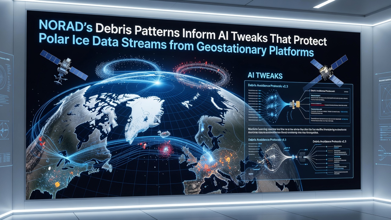
Data from NORAD continues to feed into artificial intelligence systems that adjust satellite operations, and recent patterns in debris movement have prompted specific tweaks aimed at maintaining uninterrupted polar ice data streams relayed through geostationary platforms. These platforms sit at fixed positions above the equator, yet they handle critical downlink traffic from polar-orbiting sensors that monitor ice sheet thickness and sea ice extent across the Arctic and Antarctic regions.
Debris Movement Patterns Observed in Recent Months
Analysts at NORAD have documented shifts in debris trajectories that cross paths with signal beams from geostationary satellites during October 2026, and these crossings correlate with brief interruptions in data packets carrying ice core temperature readings and albedo measurements. The debris fragments, many originating from earlier launch stages and defunct payloads, create micro-shadows and electromagnetic interference that AI models now predict with greater precision after ingesting updated NORAD catalogs. Researchers at the Canadian Space Agency have cross-referenced these catalogs with ground station logs, revealing that certain orbital planes experience higher fragment density during equinox periods when solar radiation pressure alters fragment velocities.
AI Algorithm Adjustments and Their Technical Basis
Engineers have modified the reinforcement learning components within the AI frameworks so that they prioritize frequency hopping sequences and beam steering commands whenever NORAD flags an approaching debris cluster within a defined proximity threshold. The adjustments incorporate real-time ephemeris data that updates every ninety minutes, allowing the models to reroute data packets through alternate geostationary transponders before interference peaks. Studies conducted by teams at the University of Colorado Boulder indicate that these changes reduce packet loss rates by measurable margins during simulated conjunction events, while the underlying orbital mechanics remain governed by standard two-body propagation equations augmented with higher-order perturbations.
Integration with Polar Monitoring Missions
Polar ice data streams originate from instruments aboard satellites such as those operated under the European Space Agency's Earth Explorer program and NASA's ICESat-2 follow-on missions, and these streams pass through geostationary relay nodes before reaching ground processing centers in Norway and Alaska. The AI tweaks ensure that bandwidth allocation shifts automatically when debris density maps from NORAD exceed baseline thresholds, thereby preserving the temporal resolution required for tracking seasonal melt cycles. Observers note that conjunction forecasts now include an additional variable layer that accounts for platform attitude adjustments, which in turn affects antenna gain patterns used for the ice data links.
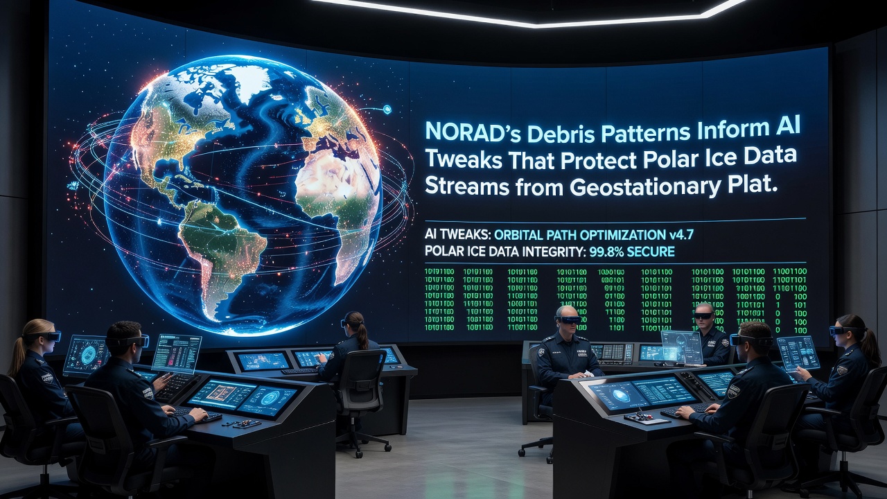
One documented case involved a cluster of aluminum fragments tracked by NORAD in late September 2026 that prompted an automated switch to a secondary transponder on a geostationary platform operated by a commercial consortium. The switch maintained continuous delivery of synthetic aperture radar imagery depicting ice shelf calving events off the coast of Greenland, and post-event analysis confirmed that latency increased by less than two seconds during the maneuver.
Broader Context of Orbital Traffic Management
International coordination efforts through the United Nations Office for Outer Space Affairs have incorporated NORAD-derived debris density statistics into discussions on spectrum allocation for Earth observation relays, and data shared by the Australian Space Agency has highlighted similar interference risks for southern hemisphere ice monitoring stations. These exchanges demonstrate how localized debris patterns influence global data continuity strategies without requiring hardware modifications to the geostationary fleet itself. The AI systems in question rely on supervised learning layers trained against historical conjunction archives, allowing them to generalize across different debris size regimes and solar activity levels recorded through 2026.
Conclusion
Continued refinement of these AI models depends on sustained access to NORAD's debris catalogs, and the resulting operational protocols now form part of standard procedures for agencies responsible for polar climate data collection. The interplay between debris tracking inputs and geostationary relay optimization illustrates one practical application of orbital awareness in preserving long-term environmental monitoring capabilities.